
Tennessee Recovery Ecosystem Explorer
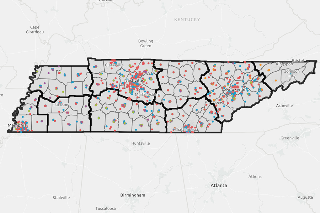
The Tennessee Recovery Ecosystem Mapping Tool is an interactive, statewide platform that helps local leadership discover substance misuse recovery resources.
It gives a holistic view of the recovery landscape in communities and identifies opportunities to strengthen Tennessee's recovery ecosystem.
How to Use This Tool
There are two interactive maps that allow users to search, filter and explore recovery resources across Tennessee. Search and filter resources by county, resource category, or service type and select individual locations to view additional information such as contact details, services offered and counties served.
- The Resource Categories map organizes resources into four categories: Prevention, Treatment, Recovery and Overdose Prevention.
- The Primary Service Types map allows users to explore services by their primary service type within the recovery ecosystem.
Features
County Statistics page: Provides a snapshot of recovery resources within each county. Users can select a county, or counties, to view the total number of resources, the distribution of resources across the continuum of care and the distribution of primary service types. This gives communities a quick overview of their local recovery ecosystem and supports planning and collaboration.
Near Me Analysis Feature: Helps users identify recovery resources within a selected mile-radius to a pin location. Users can quickly locate nearby services and see what resources are available in an area.
Submit a Recovery Resource
If an organization or resource is not currently represented on the map, use the Add a Resource survey to submit information. Submitted resources are reviewed by the SMART team to verify the information before being added to the public map.
Coming Soon
This tool will continue to expand with additional features, including county, zip code and census tract infographics that provide demographic and community health data, as well as a dedicated recovery housing section.